

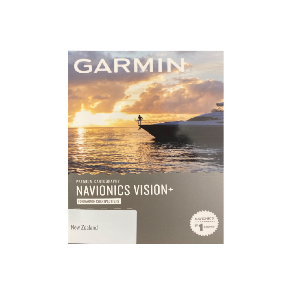
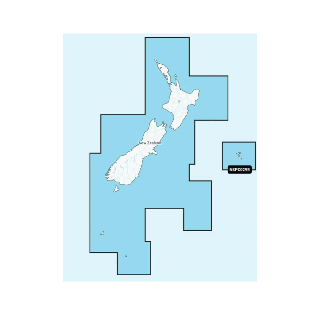
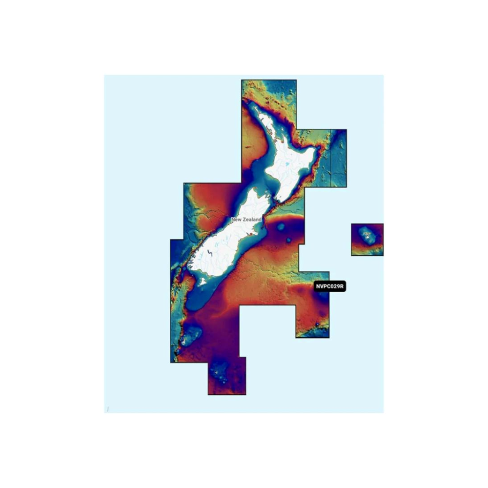


Garmin Navionics Vision + NZ Chart NVPC029R
Featuring vibrant colours, a streamlined interface and combined coastal/inland content with a popular Navionics style colour palette, Garmin Navionics+ cartography makes it easy to plot your course with the world's No. 1 name in marine mapping.
Garmin Navionics Vision + NZ Chart NVPC029R Features:
All-In-One map solution for Garmin Chartplotters - Access detail-rich mapping of coastal features, lakes, rivers and more. Integrated Garmin and Navionics content offers coverage for boaters worldwide.
Daily chart updates - Charts are constantly being enhanced with new and amended content - as many as 5,000 updates are made every day. The one-year included subscription gives you access to daily chart updates via the ActiveCaptain smart device app.
Auto Guidance+ technology - Combining the best of Garmin and Navionics automatic routing features, built-in Auto Guidance+ technology gives you a suggested dock-to-dock path to follow through channels, inlets, marina entrances and more.
Depth range shading - High-resolution depth range shading lets you select up to 10 colour-shaded options and view your designated target depths at a glance.
Up to 1' contours - For improved fishing and navigation, up to 1' contours provide a clear depiction of bottom structure for improved fishing charts and enhanced detail in swamps, canals, harbours, marinas and more.
Shallow water shading - To give a clear picture of shallow waters to avoid, this feature allows for shading at a user-defined depth.
ActiveCaptain community - Community-sourced content provides useful POIs, such as marinas, anchorages, hazards, businesses and more. Get recommendations from boaters with first hand experience of the local environment.
NOTE: This version is for GARMIN Units ONLY
FAST SHIPPING
Fast Nationwide Shipping so you can receive your product quicker!
QUALITY GEAR
Just like our boats we pride ourselves in the quality of our brands and products.

FREQUENTLY ASKED QUESTIONS
DAVID HINTON
It is the best boat we have had and is such a perfect fit over in Fiji, such an eye grabber that can handle all types of weather which can change in a moment. We use it for day cruising, sight-seeing, island hoping, and game fishing and it fits every purpose!
– FC 640cc

GRAHAM & SARA TIETJEN – BREAKAWAY II
I am very happy with the boat – easy to tow, launch, retrieve and handle Even my wife can winch it on the trailer in adverse conditions – It is a pleasure to own at our stage of life.
– FC 430cc

DAN HOGARTH – ON DA ROCKS
I mainly lure fish out of Tauranga and you need a good stable boat down here as most of the time I’m standing and actively fishing. It’s small, stealthy and with the Minnkota it’s great for hunting in the harbour shallows. I’m also more than happy sitting many kilometres off the coast. It’s a great looking little boat and always gets plenty of attention and compliments. I’ve been fishing out of small alloy tinnys most of my life, but these are nothing like the tinnys of old. Would and do totally recommend them.
– FC 430T

ADAM TAYLOR – CHASING TAIL
I bought a FC 430cc Centre Console a year ago and loved it. I saltwater fish as well as saltwater fly fish and the boat ticks all the boxes! I upgraded to the FC 535cc Christmas just gone so I could get out a bit further for possibly bigger game fish. The boat is perfect if I was to ever change I would then go to the FC 560cc, awesome boats!!!
– FC 535cc

JASON INNES – CHILLAXIN
We love our FC 500ss side console as it has so much fishing space, we have had 6 fishing from it. I’m not sure if there is another 5m boat around that could cater for that.
Another asset we really like about our boat is the high sides as this has made it a lot safer for my kids (4.5yrs and 1.5yrs old) to be on, the sides are at chest height which all but eliminates any chance of them going over.
The hull design makes it extremely stable at rest and we have had it in some sloppy conditions out from Raglan and it has never been a problem. We look forward to a lot more great times in our “big” little boat.
– FC 500ss

BRUCE HORROX – ON THE JOB
Having purchased the FC 560 Cuddy Cabin, with a 115hp Mercury, in 2015, we have found the boat to be an amazing amount of pleasure. This being our first boat, it has exceeded our expectations from the day of purchase. It is easy to tow, easy to launch and easy to operate. The boat rides well and you feel comfortable in choppy conditions with the added ability of being able to retain water in the hull to give the extra weight required to help stabilize the boat in the water. The FC gives us plenty of room to comfortably be able to fish four from the cockpit, so the family gets to enjoy the pleasure as well. The only downside is not being able to get out on the water more often.
– FC 560 Cuddy Cabin
